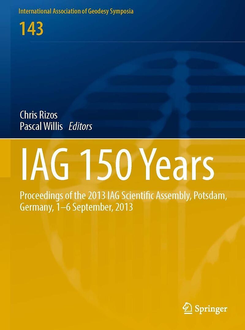
IAG 150 Years
Format:
E-Book (pdf)
EAN:
9783319308951
Untertitel:
Proceedings of the 2013 IAG Scientific Assembly, Postdam,Germany, 1-6 September, 2013
Genre:
Geologie
Herausgeber:
Springer
Anzahl Seiten:
798
Erscheinungsdatum:
08.08.2016
ISBN:
978-3-319-30895-1
This proceedings contains a selection of peer-reviewed papers presented at the IAG Scientific Assembly, Postdam, Germany, 1-6 September, 2013. The scientific sessions were focussed on the definition, implementation and scientific applications of reference frames; gravity field determination and applications; the observation and assessment of earth hazards. It presents a collection of the contributions on the applications of earth rotations dynamics, on observation systems and services as well as on imaging and positioning techniques and its applications.
Autorentext
Zusammenfassung
This proceedings contains a selection of peer-reviewed papers presented at the IAG Scientific Assembly, Postdam, Germany, 1-6 September, 2013. The scientific sessions were focussed on the definition, implementation and scientific applications of reference frames; gravity field determination and applications; the observation and assessment of earth hazards. It presents a collection of the contributions on the applications of earth rotations dynamics, on observation systems and services as well as on imaging and positioning techniques and its applications.
Inhalt
Part 1 - History session.- From a regional project to an international organization: the Baeyer-Helmert-Era of the International Association of Geodesy 18621916.- IAG history: The years of World Wars and aftermath (1917 1959).- Part 2 - Definition, Implementation and Scientific Applications of Reference Frames.- Epoch reference frames as short-term realizations of the ITRS Datum stability versus sampling.- Status of the IGS-TIGA Tide Gauge Data Reprocessing at GFZ.- On the impact of correlation information on the orientation parameters between celestial reference frame realizations .- Quality evaluation of the weekly vertical loading effects induced from continental water storage models.- Impact of time variable gravity on annual sea level variability from altimetry.- Development of a Combination Procedure for Celestial Reference Frame Determination.- Improved Parameter Estimation of Zenith Wet Delay Using an Inequality Constrained Least Squares Method.- The realization of asemi-kinematic datum in Greece including a new velocity model.- Simulated VLBI satellite tracking of the GNSS constellation - observing strategies.- On the development and implementation of a semi-dynamic datum for Indonesia.- Regional Model to Estimate Vertical Deformations due to Loading Seasonal Changes.- Expression of the Local GPS Solution in the Regional Reference Frame ETRF2000.- Impact of Antenna Phase Centre Calibrations on Position Time Series: Preliminary Results.-Optimized parameterization of VLBI auxiliary parameters in least-squares adjustment: preliminary results.- The Antarctic regional GPS network densi_cation - status and results.- Impact of celestial datum de_nition on EOP estimation and CRF orientation in the global VLBI session IYA09.- A High-Precision Deformation Model to support Geodetic Datum.- Interaction between subdaily Earth rotation parameters and GPS orbits.- A geocenter time series from a combination of LAGEOS and GRACE observations.- DPOD2008 A DORIS-oriented Terrestrial Reference Frame for Precise Orbit Determination.- SIRGAS core network stability.- Part 3 - Gravity Field Determination and Applications.- Numerical Computation of Point Values, Derivatives, and Integrals of Associated Legendre Function of the First Kind and Point Values and Derivatives of Oblate Spheroidal Harmonics of the Second Kind of High Degree and Order.- Developments in the implementation and use of Least-Squares Collocation.- The impact of using Jason-1 and Cryosat-2 geodetic mission altimetry for gravity field modeling.- Mohorovicic discontinuity depth analysis beneath North Patagonian Massif.- The A10 Gravimeter Total Uncertainty Budget Estimation: A Case Study Using The A10-020.- Analysis of the discrepancies between the Brazilian vertical reference frame and GOCE-based geopotential model.- Regional gravity field modeling by radially optimized point masses: case studies with synthetic data.- Covariance Analysis and Sensitivity Studies for GRACE Assimilation into WGHM.- Accuracy estimation of the IfE gravimeters Micro-g LaCoste gPhone-98 and ZLS Burris Gravity Meter B-64.- Least-squares prediction of runo_ over ungauged basins.- Improving and validating gravity data over ice-covered marine areas.- Estimation of the geopotential value W0 for the Local Vertical Datum of Argentina using EGM2008 and GPS/Levelling data.- A feasibility study on the unification of the Italian height systems using GNSS-leveling data and global satellite gravity models.- Analysis of the discrepancies between the vertical reference frames of Argentina and Brazil.- Validation of GOCE/GRACE satellite only and combined global geopotential models over Greece in the frame of the GOCESeaComb project.- Height system unification based on the fixed GBVP approach.- Airborne and shipborne gravimetry at GFZ with emphasis on the GEOHALO project.- A comparison of the performance of medium- and high-quality inertial systems grades for strapdown airborne gravimetry.- Assessmentof the recently released GOCE-based models in terms of spectral and spatial resolution.- Assessment of GOCE models over Mexico and Canada and impact of omission errors.- Verifying the accuracy of recent Global Geopotential Models in north-west Mozambique.- Impact of numerical weather models on gravity field analysis.- Practical aspects of the uni_cation of height system realizations in Europe.- Towards a consistent estimation of the Earth's gravity field by combining normal equation matrices from GRACE and SLR.- Tailored Reference Geopotential Model for Africa.- Towards an Alternative Geoid Fitting Technique.- Part 4 - Observing, Understanding and Assessing Earth Hazards.- Geodetic Imaging by Airborne LiDAR: A Golden Age in GeodesyA Bonanza for Related Sciences.- Analysis of Precipitable Water estimates using permanent GPS station data during the Athens heavy rainfall on February 22th 2013.- Airborne LiDAR data as a base for the Open space 3D model construction.- An Inventory o...

Leider konnten wir für diesen Artikel keine Preise ermitteln ...
billigbuch.ch sucht jetzt für Sie die besten Angebote ...
Die aktuellen Verkaufspreise von 3 Onlineshops werden in Realtime abgefragt.
Sie können das gewünschte Produkt anschliessend direkt beim Anbieter Ihrer Wahl bestellen.
Loading...
Die aktuellen Verkaufspreise von 3 Onlineshops werden in Realtime abgefragt.
Sie können das gewünschte Produkt anschliessend direkt beim Anbieter Ihrer Wahl bestellen.
| # | Onlineshop | Preis CHF | Versand CHF | Total CHF | ||
|---|---|---|---|---|---|---|
| 1 | Seller | 0.00 | 0.00 | 0.00 |
